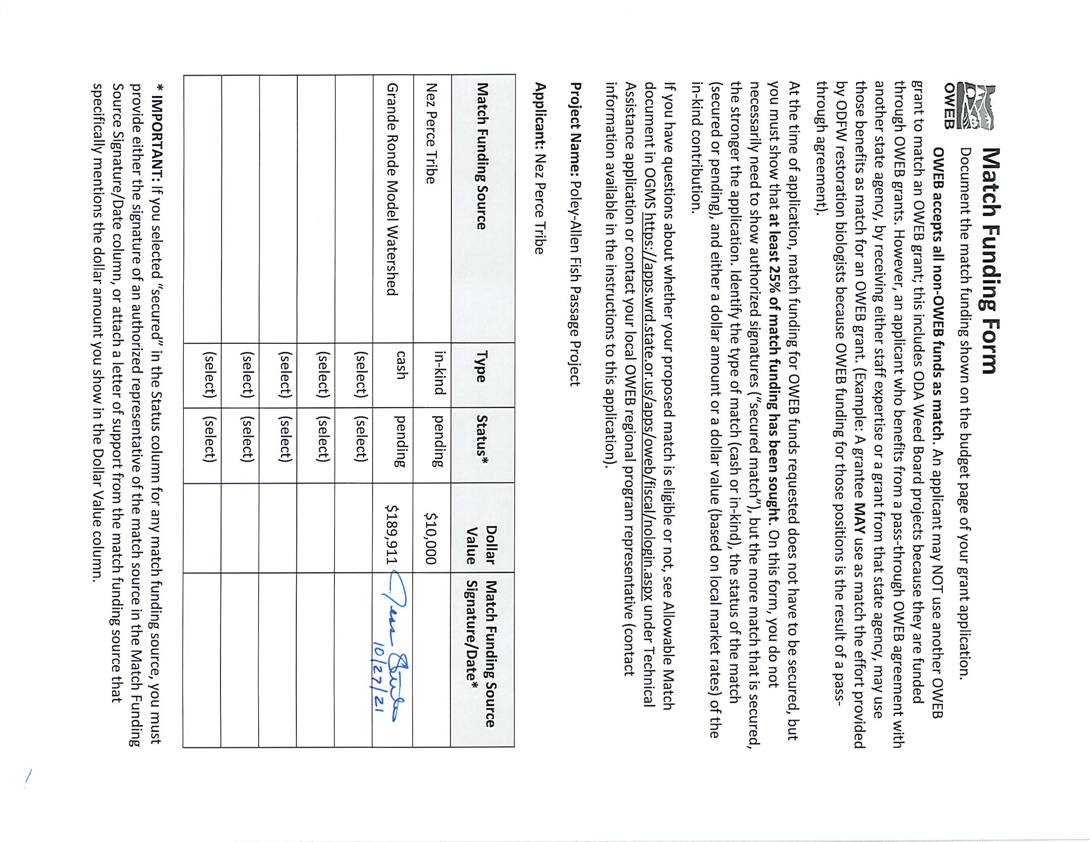
Lostine River Poley Allen Fish Passage
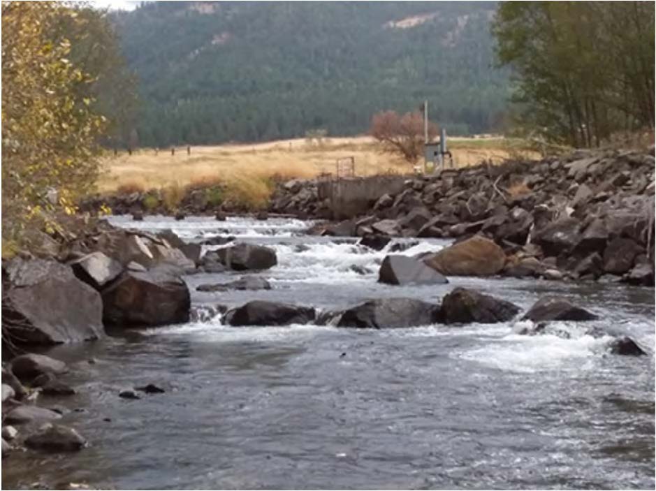
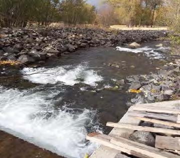
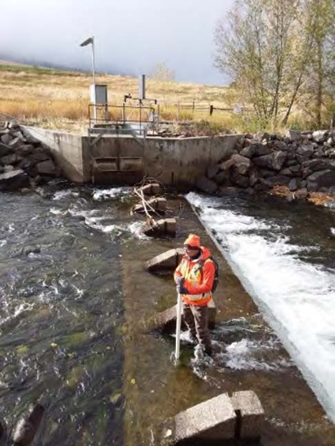
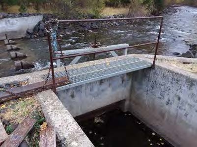
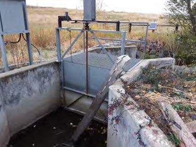
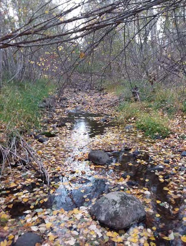
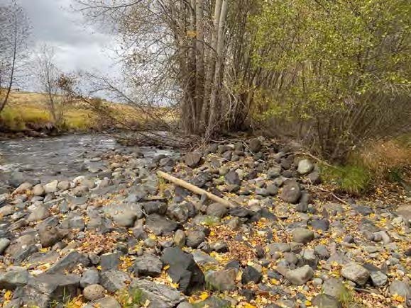
The project site is located at a privately-owned irrigation diversion dam that crosses the Lostine River approximately 1 mile south of the town of Lostine, Oregon. More specifically, the project site is located at river mile 4.8 on the Lostine River and generally includes the mainstem Lostine River and the Poley-Allen irrigation diversion dam and intake. Restoration potential is high throughout the Lostine River and the Grande Ronde Subbasin Plan (Nowak 2004) ranks the Wallowa-Lostine highest in the Grande Ronde watershed for comprehensive restoration. At this site, the current diversion structure is an upstream passage barrier for ESA listed spring Chinook Salmon, steelhead and Bull Trout. Therefore, the overall purpose of this project is to provide perennial passage for native salmonids throughout the year. The goal of this project is to restore fish passage through the Poley-Allen diversion structure while maintaining a minimum water surface elevation upstream of the diversion structure sufficient for the delivery of legal irrigation withdraws for the associated landowners. By modifying the existing channel spanning concrete sill and concrete abutment, installation of a roughened channel downstream of the sill, and enhancing habitat in the adjacent side channel through LWM placement, this project will maximize year-round fish passage and diversify fish habitat for all life history stages of Bull Trout, steelhead, and Chinook Salmon, while maintaining access to irrigation water for current water rights holders. Project partners include the Grande Ronde Model Watershed and BPA.
Gallery


