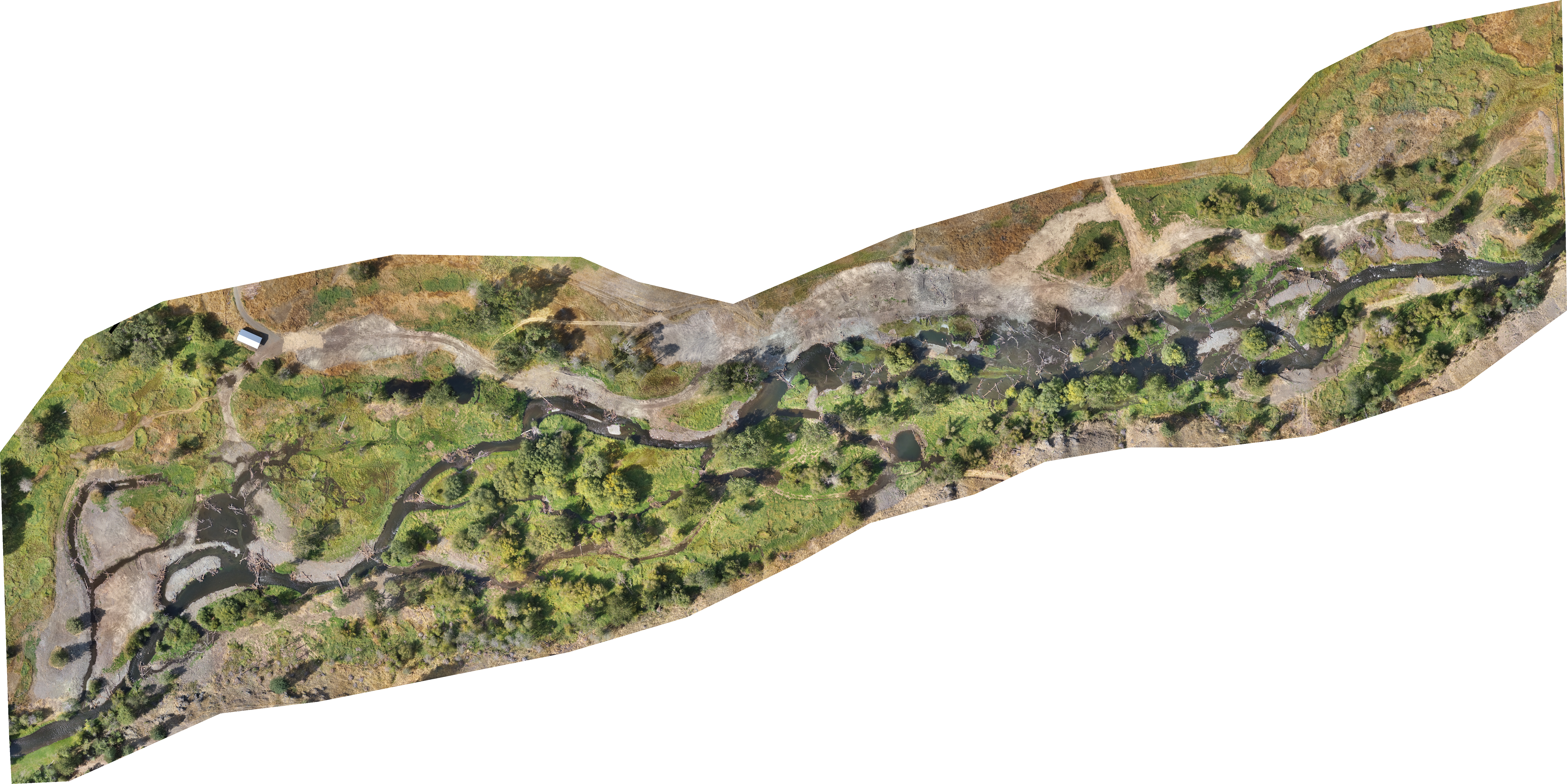
Wilson-Haun Wallowa River Restoration
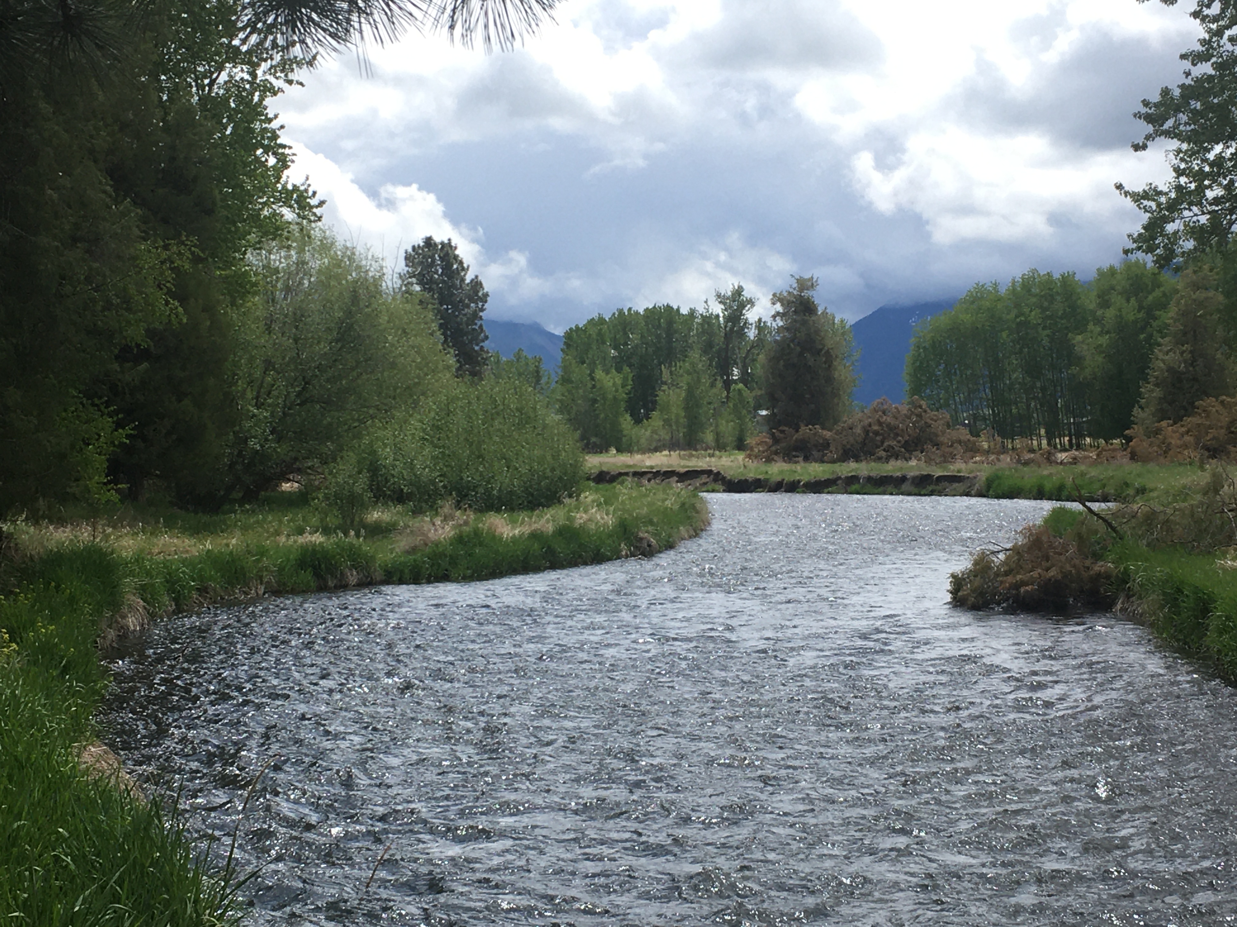
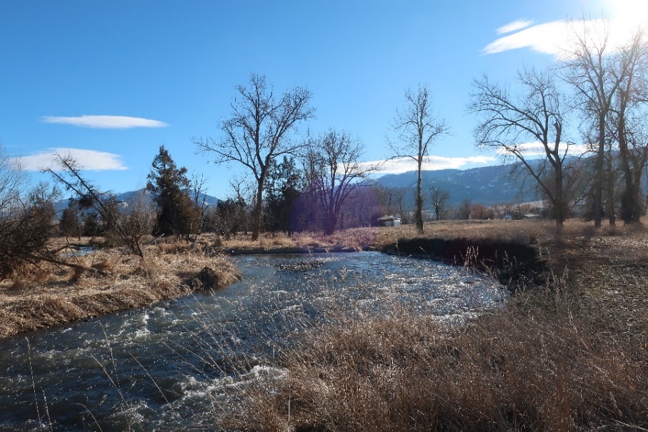
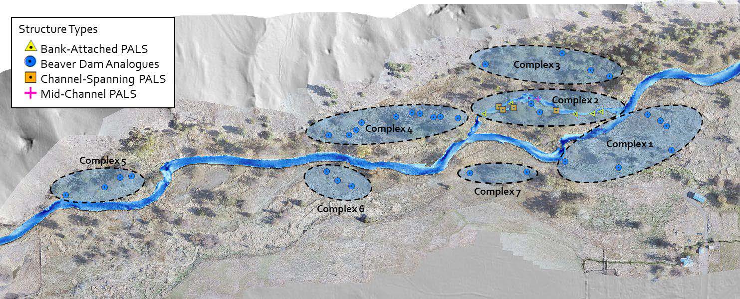
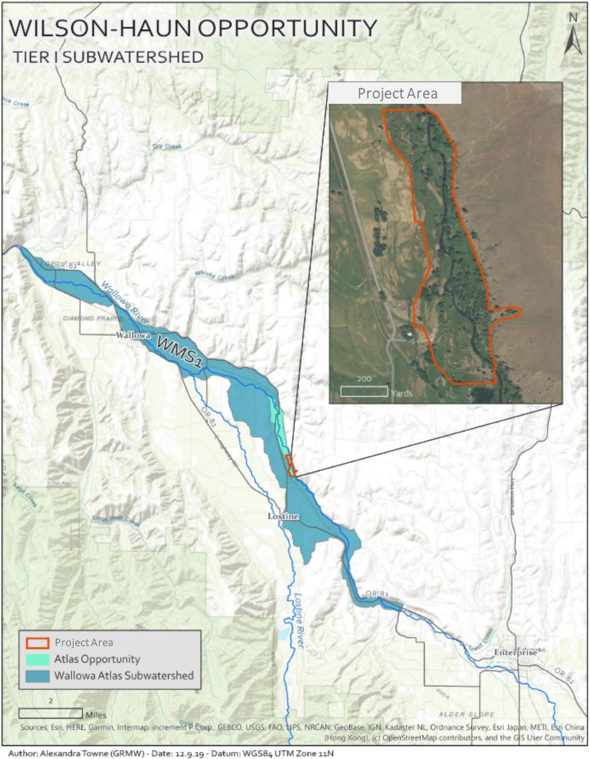
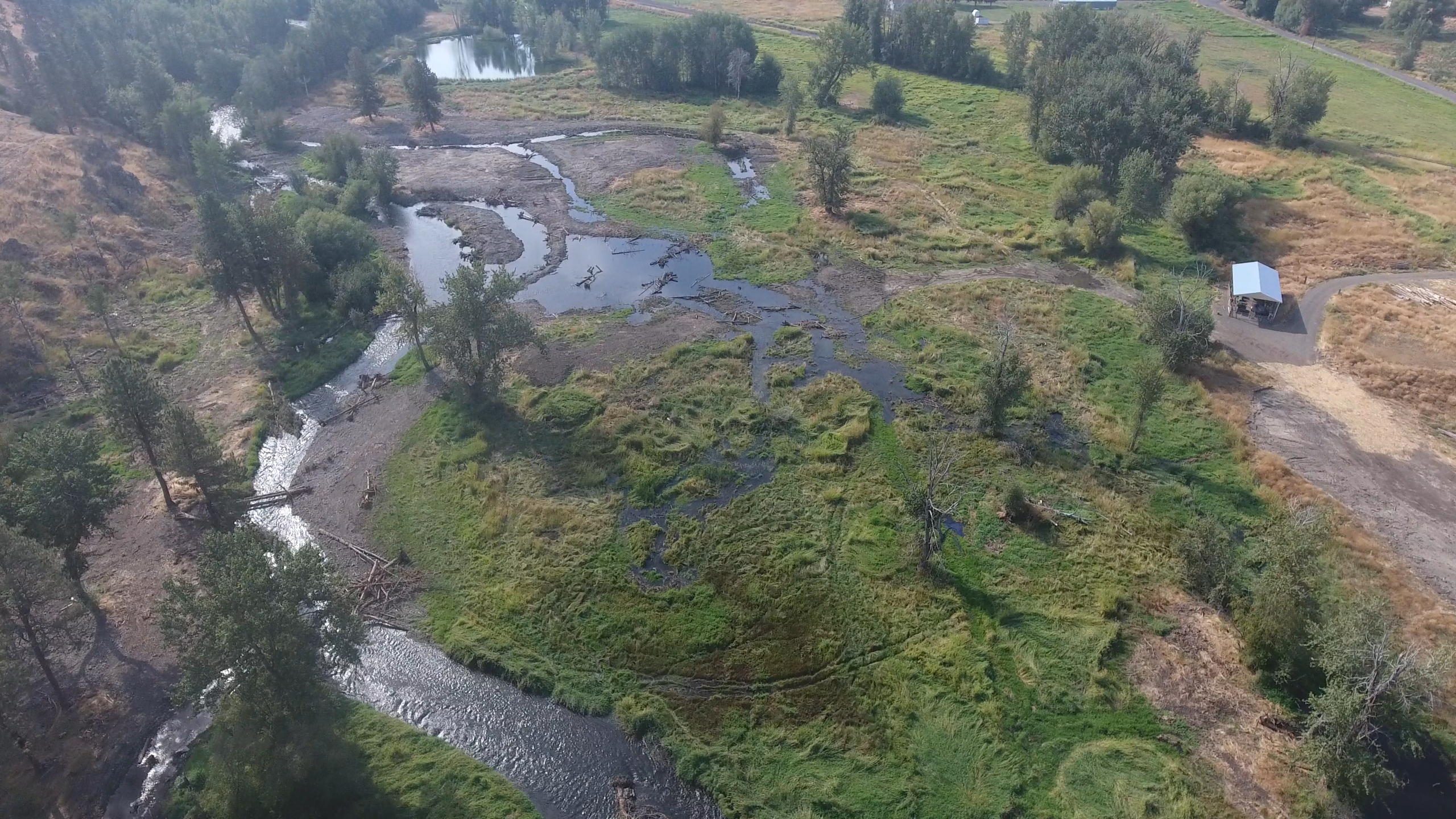
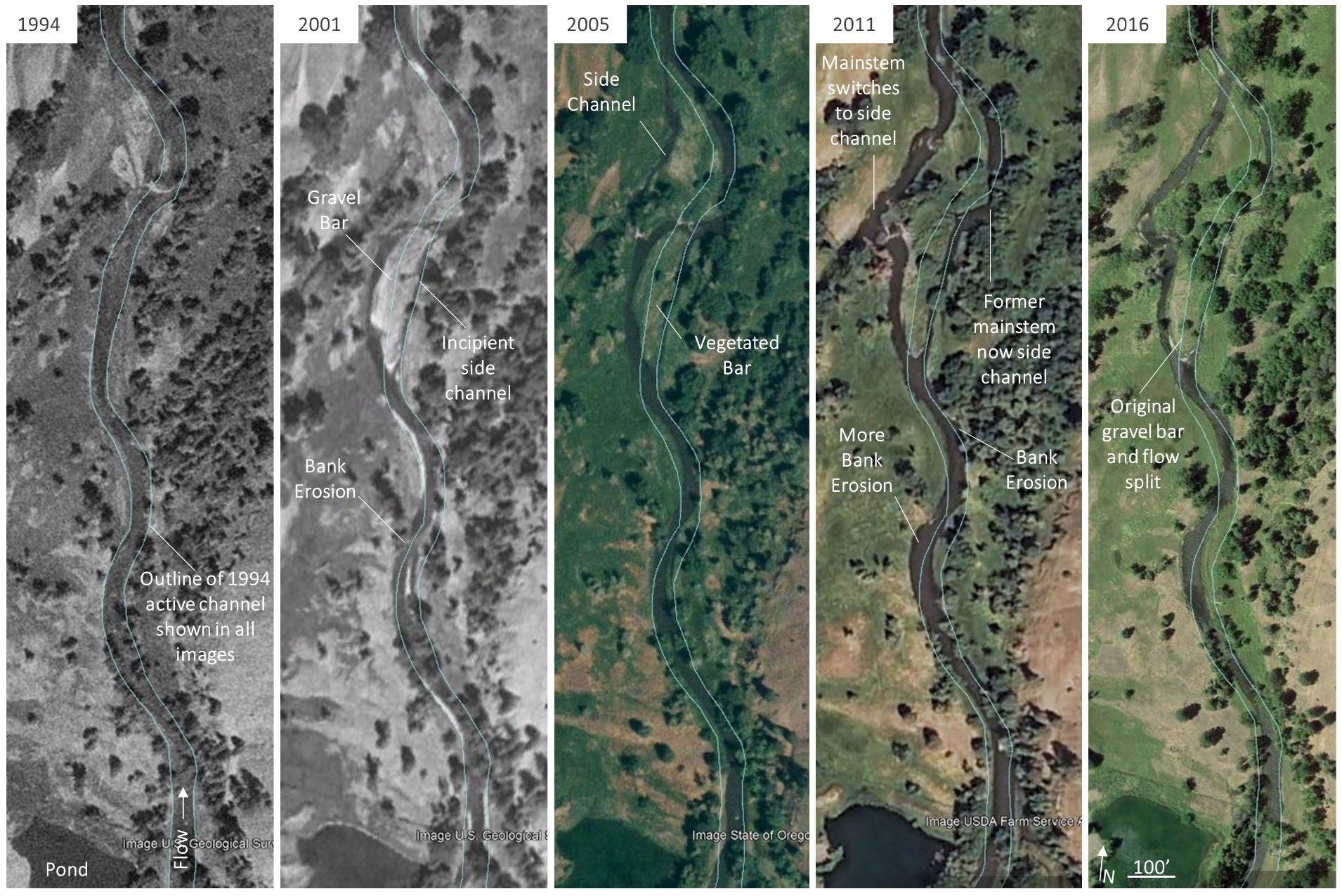
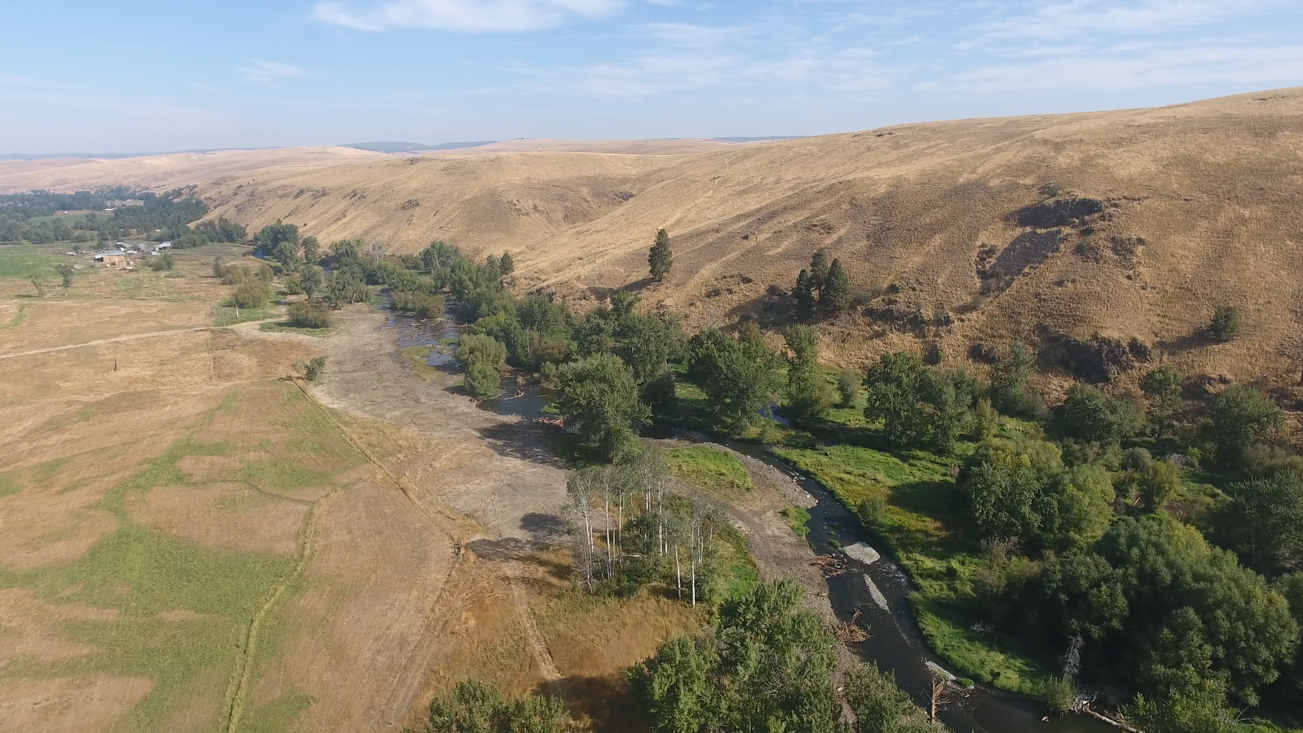
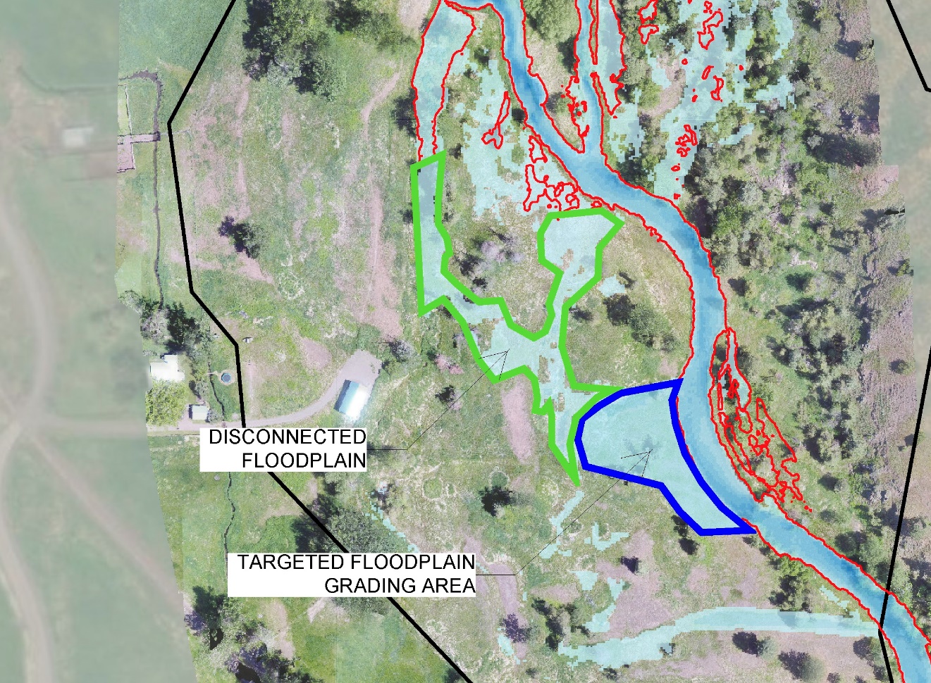
The Wilson-Haun Wallowa River Project will take place in a high priority salmon and steelhead stream - Grande Ronde Basin. The restoration effort will occur on the mainsteam Wallowa River (RM 31.1-31.7). This reach includes critical spawning and rearing habitat for ESA Threatened Snake River Steelhead (Oncorhynchus mykiss), ESA-Threatened Bull trout (Salvelinus confluentus), and ESA-Threatened Snake River spring Chinook (Oncorhynchus tshawytscha). The river's floodplain habitats are not in proper functioning geophysical and ecological condition (hydrologic, geomorphic, and vegetative composition), due to historic anthropogenic influences including beaver trapping, overgrazing, logging (floodplain clearing and headwater), dams, altered vegetative regime, and dewatering for irrigation. The overall project goal is to set the system on a trajectory towards achieving proper geophysical and ecological form and function, and thereby improve spawning and rearing habitat for several listed fish populations, and ecosystem function for other focal aquatic and terrestrial species. The project team worked with Wolfe Water Resources and other partners to develop the project design over the past year. The project will use a mix of conventional and new restoration approaches backed by scientific and expert knowledge. This includes floodplain grading, channel fill, large wood placement, low-tech process based restoration, riparian planting, and other techniques. Trout Unlimited (TU) in partnership with the Grande Ronde Model Watershed Council (GRMW), the landowners, funders, the design firm, and local partners (Nez Perce, ODFW) will implement the project under this contract with Bonneville Power Administration.
Gallery