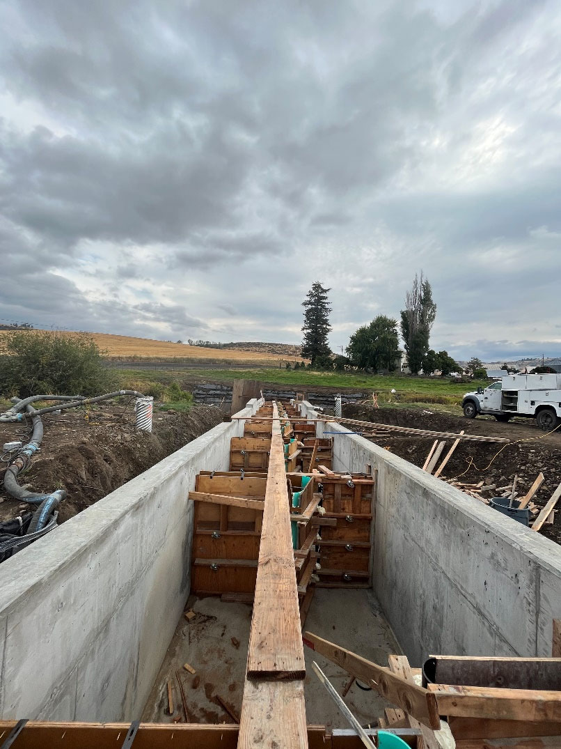
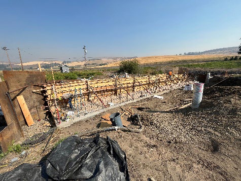
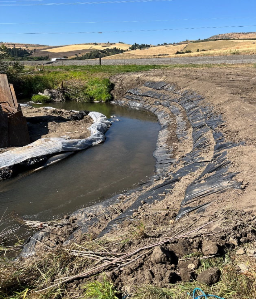
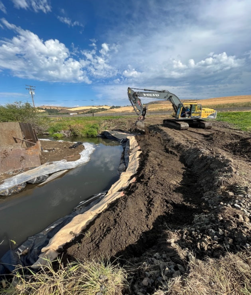
Free Willow/Lower Willow Creek/Huber Dam Fish Passage
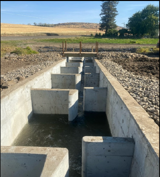
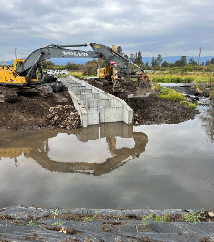
Willow Creek, a tributary of the Grande Ronde River, is located at the downstream and north end of the Grande Ronde valley near Imbler, Oregon. The Huber Irrigation dam is located on RM 2.28 and Royes irrigation dam is located at RM 5.34. The construction of both irrigation dams in the 1950’s introduced physical obstructions for salmonid migration. In combination with instream flow limitations during key times of the year, passage of adult salmonids upstream and juvenile salmonids downstream is potentially completely blocked as surface flow decreases. Although adult steelhead are able to negotiate the dam structures at higher flow, spring/summer Chinook salmon adults moving into Willow Creek in the early summer months are specifically impacted by the decrease of instream flow and installation of stoplogs in the dam structures each year. Summer steelhead currently inhabit the mainstem and tributaries of Willow Creek. Adults typically enter Willow Creek in March through mid-June each year and some of the highest redd densities in the subbasin have been documented. Juvenile steelhead outmigration timing varies with the age of the fish but most often coincides with increases in stream flow during the spring and fall. Improve and restore passage by constructing bypass channels at the two dam sites would increase the availability of habitat for salmonids. Steelhead adults would have a longer opportunity to pass these obstructions and juveniles could move more easily downstream or avoid high water temperatures. Chinook adults currently returning to the downstream reach may begin migrating into the watershed and juvenile outmigrants could leave the system during either the spring peak flows or fall freshets. All permitting is being completed under the ongoing TA project. The only exception is the construction contractor will be responsible for the DEQ 1200-C.
Gallery